 SurveyDroneRequest a survey
Case study 01 · July 2026
Two sites.
One methodical record.
A same-day residential condition survey across Meryll Avenue and Seven Hills Road in Baulkham Hills, documenting façades, roof edges and difficult-access elevations for clear project review.
The commission
Consistent evidence across two neighbouring sites.
- Location
- Baulkham Hills, Sydney
- Asset type
- Multi-storey residential buildings
- Scope
- External condition documentation
- Delivery
- Structured photographic survey record
Site 01 · Meryll Avenue
Close coverage where access is difficult.
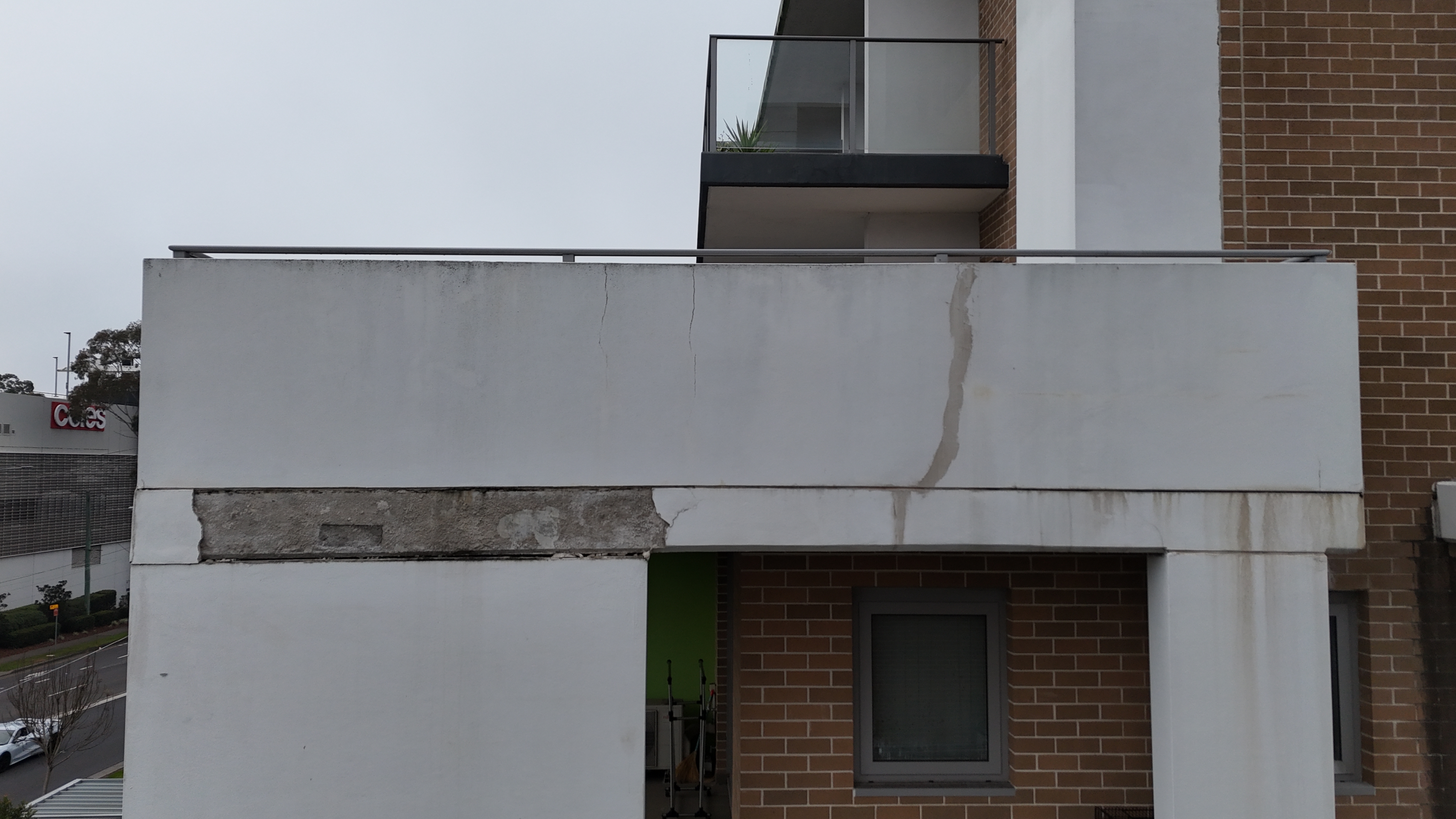
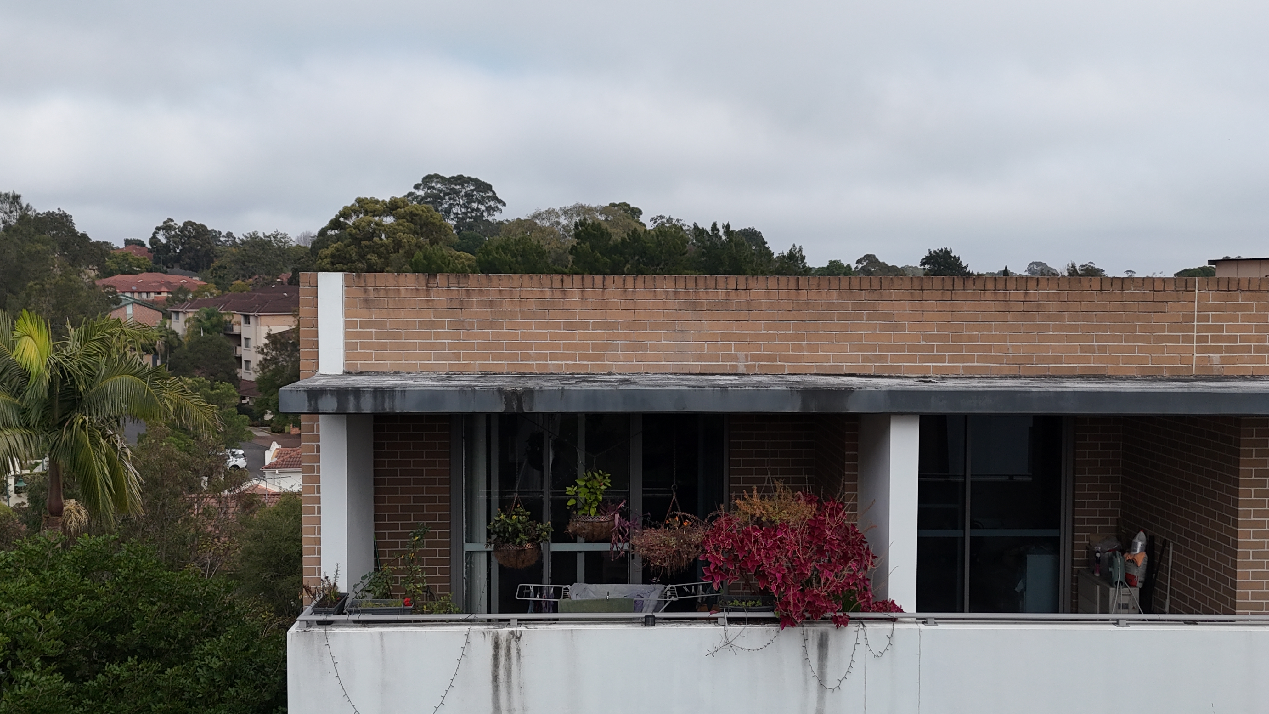
The capture sequence documented visible façade cracking, coating deterioration and junction details across multiple building elevations. High-resolution images created a reviewable record without first installing extensive access equipment.
- Methodical elevation-by-elevation capture
- Close visual records of visible defects
- Images organised for efficient report review
Site 02 · Seven Hills Road
Roof edges, parapets and upper-level façades.
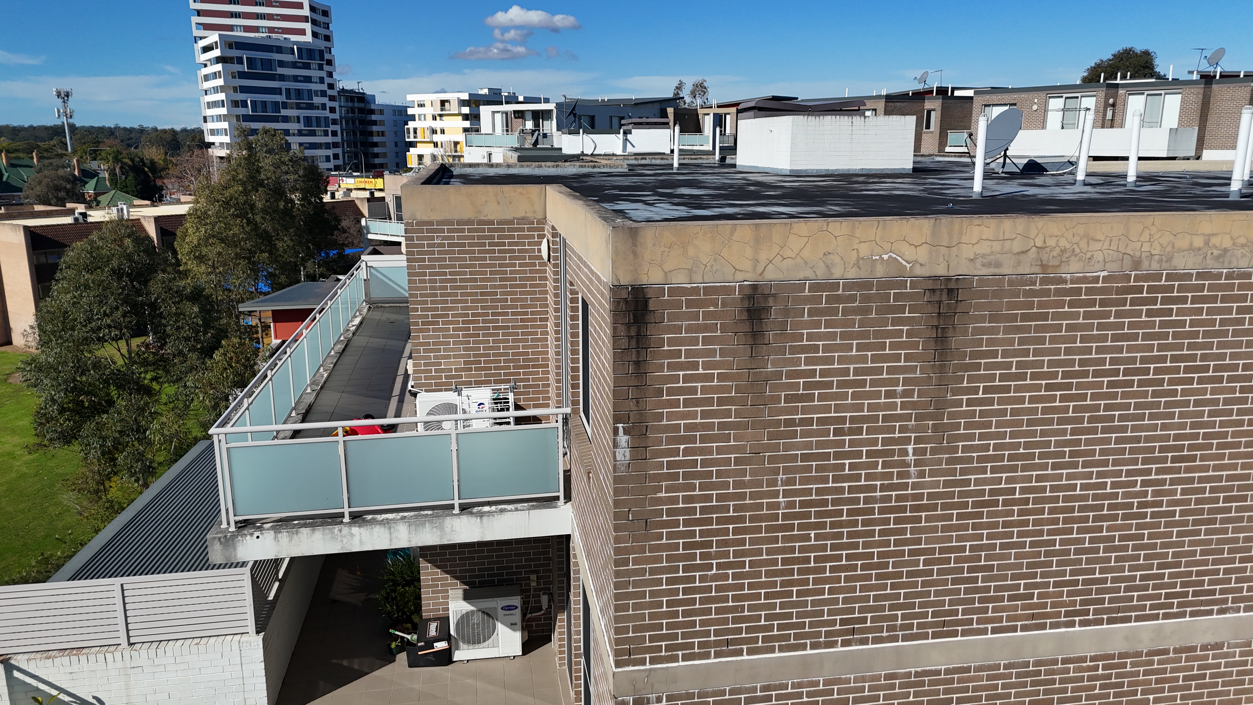
The second site extended the same structured approach across upper-level areas, recording parapet cracking, staining, roof interfaces and façade condition from consistent viewing positions.
- Upper-level coverage beyond ordinary ground access
- Context views paired with closer condition imagery
- One coherent record across the dual-site commission
The value
A safer, faster way to establish the visual record.
The commission demonstrates how planned drone capture can document extensive external areas in a single site day, reducing unnecessary work at height while producing clear evidence for condition and dilapidation reporting.
Discuss a similar site